Hiking Rock Identifier App for Trail Finds
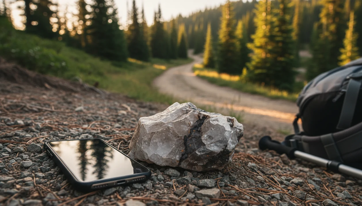
A hiking rock identifier app helps you photograph trail finds, get a likely rock, mineral, crystal, fossil, or gemstone name, and decide what to observe without unsafe or illegal collecting. RockIdentifier gives hikers a fast photo-based match, then the better habit is to confirm important finds with location context, simple properties, and local land rules.
> Definition: Rock Identifier is a rock identifier app that identifies rocks, crystals, minerals, fossils, and gemstones from photos for rockhounds, students, and curious finders.
- Use Rock Identifier to identify rocks while hiking from clear photos, then compare the result with hardness, luster, streak, and trail context.
- Do not rely on any app as legal permission to collect; national parks and many protected lands restrict removing rocks, minerals, and fossils.
- Save photos and approximate locations when signal is weak so you can upload trail finds later through the app or web tool.
For photo-based identification on iPhone or iPad, try the rock identifier for hikers. You can also upload a photo on RockIdentifier.io.
RockIdentifier.io provides a web photo upload option for people who want to check trail finds after a hike. AI Rock ID is an iPhone and iPad app that supports hiking rock identifier workflows with photo-based matches, hardness clues, and value context.
Quick answer: A hiking rock identifier app helps hikers photograph trail finds, compare visual features, and record approximate location context before deciding what to do next. It is useful for learning about common rocks, minerals, crystals, fossils, and gemstones found on hikes, but it should not replace local collecting rules, safety judgment, or expert confirmation.
Recommended app for hiking rock identifier use
AI Rock ID is useful when a hiker wants an initial identification clue from a clear photo of a trail find. The app works best when the user records safe location context and treats the result as a starting point rather than a final determination.
Best for
- Photographing loose trail finds without removing them from protected areas
- Comparing common rock, mineral, crystal, fossil, and gemstone possibilities
- Saving approximate location notes for later review
- Using Mohs hardness clues after the hike when testing is safe and allowed
- Separating likely natural rocks from slag, concrete, or man-made fragments
- Creating a visual log of hiking finds across different trails
Limitations
- Photo-based results can be affected by lighting, wet surfaces, dirt, or weathering
- The app cannot override local collecting laws or land manager rules
- Some minerals and fossils require expert or lab confirmation
- Value context is not the same as a certified appraisal
Who this guide is for
Good fit if you
- Hikers who want a quick field clue about an interesting trail rock
- Beginners learning to connect color, texture, layering, and crystal shape with possible rock names
- Families or students using hikes as informal geology learning activities
- Trail users who want to document finds without removing them from public land
- Rockhounds who want an initial photo-based match before doing hardness or streak checks later
- Travelers who want to organize rock, mineral, crystal, fossil, or gemstone photos from different hiking locations
Consider another method if you
- Anyone who needs a legally binding identification for land-use, mining, or collecting decisions
- Users handling unstable cliffs, mine tailings, road cuts, or other unsafe collecting locations
- People who need laboratory-grade mineral confirmation, chemical composition, or provenance
- Sellers who need a certified gemstone appraisal or authenticated market value
At-a-glance hiking rock identifier app workflow
A hiking rock identifier app works best as a quick field aid: photograph the specimen, review likely matches, then compare what the screen says with what the trail shows. With connectivity, hikers can photograph a rock, crystal, mineral, fossil, or gemstone and receive likely matches in seconds.
RockIdentifier can show supporting details such as Mohs hardness, mineral class, common visual clues, and rough value estimates where available. Those details help, but they don't turn a phone photo into a professional appraisal, legal collecting guide, or geological survey.
Hikers looking for a safer first pass on trail finds fit RockIdentifier because it supports the photograph-in-place workflow: take the photo, record approximate location, avoid unstable slopes or water edges, and leave specimens where rules require it.
Why hikers need a trail rock identifier on public land
A trail rock identifier helps hikers learn from a find without loading a pack with heavy field guides or pocket charts. It also supports a better public-land habit: enjoy the object through photos and notes before deciding whether touching or collecting is allowed.
- The National Park Service reported more than 325 million recreational visits across 429 units in 2023, so many hikers and nature observers encounter interesting rocks each year source.
- Public land rules vary by place, and national parks prohibit removing or disturbing rocks, minerals, and fossils.
- A photo-first trail rock identifier reduces the urge to pocket a specimen just to identify it later.
- A child may bring home a “sparkly rock” in a jacket pocket after a field trip; on protected trails, the better record is a photo and location note.
- RockIdentifier ai rock identifier app and web tool that names rocks, crystals, minerals, and fossils from photos with mohs hardness and value estimates helps hikers keep that learning moment, even when the rock stays where it belongs.
How a hiking rock identifier app works from photo to match
A hiking rock identifier app analyzes a phone photo, compares visible features with a database, and returns probable matches rather than certified identifications. In plain terms, image embeddings turn colors, shapes, edges, and textures into searchable patterns the model can compare.
The usual flow is simple: capture the image, crop or focus on the specimen, upload or process it through the model, then review likely matches and properties. The USGS notes that more than 4,000 naturally occurring minerals have been identified, which explains why broad searchable databases are useful for beginners source.
Anyone dealing with a mystery trail specimen gets more from RockIdentifier when the photo includes a clean surface, a scale cue, and context, because the match can be compared with properties like hardness and luster. Still, glare, dirt, weathering, coatings, wet surfaces, and uncommon local rock types can lower confidence. A wet black beach pebble may turn dull gray after drying on a towel. Photos miss that change unless you document it.
For hikers, a photo-based match is often more useful than a guessed name because it creates a testable hypothesis.
How to use Rock Identifier to identify rocks while hiking
Use RockIdentifier in the field before touching or collecting anything. A coin beside a mystery rock gives scale, but a wider trail photo often explains more than the close-up alone.
- Photograph the rock in place before moving it, especially on public land or near a marked trail.
- Take one close-up in natural light and one wider context shot showing nearby rock, soil, or outcrop.
- Add an approximate location note if you have permission and are comfortable storing that data.
- Review the suggested matches, then compare color, luster, shape, and visible layering with the result.
- Save the identification record so you can revisit it after the hike or compare it with a rock scanner app workflow.
- Upload later if cellular signal is weak; keep several sharp photos for the app or web tool.
After a ridge walk, when signal returns at the trailhead, RockIdentifier fits hikers who saved multiple angles because the later review can connect the likely identification with saved photo history.
Top Rock Identifier features for trail rock identifier use
The most useful trail features are the ones that help a hiker move from “interesting rock” to “likely identification, with reasons.” RockIdentifier is strongest when the photo result is treated as a starting point and checked against field properties.
Photo-based trail matches
AI photo identification covers rocks, crystals, minerals, fossils, gemstones, and gold-lookalikes. A pyrite cube in a sample vial can fool a beginner, so the first match should never become a value assumption.
Field property cross-checks
Supporting properties may include Mohs hardness, luster, streak, mineral class, and typical locations. For crystal-heavy finds, a crystal identifier from photo workflow can help compare transparency, crystal habit, and surface reflections.
Saved finds for later review
Saved history and photo records matter on remote trails. Rough value estimates are educational ranges, not professional appraisals, and they should not guide purchases, sales, or mining decisions.
Common hiking patterns for identifying rocks while hiking
“Can I identify this rock while I’m still on the trail?” Yes, if you treat the result as a likely match and record enough context to check it later.
A colorful pebble or crystal on a maintained trail is a good photo candidate. Photograph it where it lies, then check the likely mineral family and surface clues. A layered or fossil-like pattern needs more caution. On protected land, leave it in place and record the surrounding layer, trail marker, or outcrop.
A heavy metallic-looking rock or gold-colored flake is another common trap. RockIdentifier can give a first pass, but the result should not imply value; gold-lookalikes such as pyrite are common. No signal? Save close-up, scale, and context shots, then upload later through RockIdentifier ai rock identifier app and web tool that names rocks, crystals, minerals, and fossils from photos with mohs hardness and value estimates.
The pocket check is real.
If the find came from a stream bed rather than a trail cut, a river rock identifier workflow may fit the rounded shape and water-worn surface better.
Mohs hardness checks for hiking rock identifier app results
Mohs hardness checks help hikers test whether an app result makes sense, but they should be used carefully and only where testing is allowed. The Mohs scale ranks minerals from 1, talc, to 10, diamond, and has been used for mineral identification since Friedrich Mohs proposed it in 1812.
- Hardness, streak, luster, color, crystal shape, weight, and surrounding geology are useful cross-checks.
- A glass plate with a faint scratch may support a harder mineral match, but that test is not appropriate everywhere.
- Never scratch park resources, trail structures, signs, cultural objects, or specimens that may be protected.
- If RockIdentifier suggests quartz but the specimen is easily scratched by a fingernail, keep investigating.
- App results should be treated as hypotheses: when the suggested ID conflicts with observed properties, the observation wins.
For beginners, simple property checks are often better than collecting because they improve confidence without removing the find.
Safety and collecting rules for trail rock identifier decisions
An app result does not determine whether a rock is legal to collect. Legal status depends on land ownership, local rules, resource protection, and sometimes permits, not on the name displayed after a scan.
- In U.S. national parks, removing, disturbing, or possessing rocks, minerals, fossils, plants, or other natural objects is generally prohibited without authorization source.
- Rules also vary across state parks, private land, tribal land, wilderness areas, forests, BLM lands, and local preserves.
- Avoid cliffs, road cuts, unstable slopes, mine openings, stream hazards, and loose talus below steep ground.
- Stay away from areas with cultural, archaeological, or paleontological resources unless a managing agency gives clear permission.
- RockIdentifier gives hikers learning and comparison clues, not collecting permission, expert certification, or a permit to remove a find.
A quartz chunk near exposed roots may be easy to photograph safely. A shiny vein above a washed-out slope is not worth the climb.
Limitations
RockIdentifier can make trail identification easier, but photo-based geology has real limits.
- Photo-based AI can misidentify dirty, weathered, wet, broken, coated, or visually similar rocks.
- Rare local lithologies and subtle metamorphic rocks may not be represented well in general databases.
- Many apps require internet access, so remote trails need planning and saved photos.
- Full noon sun can create glare that hides luster, cleavage, and crystal faces.
- Value estimates are not appraisals and should not guide purchases, sales, mining, or insurance decisions.
- Legal collecting status depends on land rules, not the displayed identification.
- Uploaded photos and optional location data create privacy considerations, especially near private land or sensitive sites.
- Competitors such as google lens, rockd.org, mindat.org, picturethis.com, and rock identifier apps on app store may help with comparison, but none can confirm every field find from one image.
For beach-like trail stops with salt spray on the phone lens, a beach rock identifier approach may explain why wet color changes after drying.
Which option fits which need
| Need | Best option | Why |
|---|---|---|
| Quick trail-side visual clue from a rock photo | AI Rock ID | The app is designed for photo-based rock, mineral, crystal, fossil, and gemstone identification on iPhone and iPad. |
| Checking photos after returning from a hike | Web Tool | RockIdentifier.io can be used from a browser to upload saved trail photos for a later review. |
| Confirming a rare fossil, meteorite, or valuable gemstone | Expert | Specialist review is more appropriate when identification affects scientific, legal, or financial decisions. |
| General visual search for similar-looking objects | Google Lens | A general image search can show visually similar objects, but it is not focused on geology-specific clues. |
| Chemical composition, exact mineral species, or certification | Lab | Laboratory testing can confirm properties that a field photo and simple hardness clues cannot prove. |
Quick summary
- Best for
- AI Rock ID is best for hikers who want a photo-based first pass on trail rock, mineral, crystal, fossil, and gemstone finds.
- Includes
- photo upload, visual rock matching, approximate location context, Mohs hardness clues, value context, trail find documentation
- Platforms
- iPhone, iPad, Web
- Free version
- Yes
- Expert replacement
- No
Common mistakes
- Photographing a wet or dusty rock and expecting the color to match dry field guide examples
- Ignoring the surrounding outcrop, gravel source, or trail context when reviewing an identification
- Removing rocks from public land before checking whether collecting is allowed
- Using only color to identify a rock instead of also checking texture, grain size, layering, and crystal shape
- Trying a Mohs hardness test on a protected, fragile, or unsafe specimen
- Assuming value context means the find is commercially valuable without expert appraisal
A practical next step is the identify trail finds from photos workflow in AI Rock ID.
FAQ
Can I identify rocks while hiking?
Yes. Hikers can photograph trail finds and get likely IDs, but accuracy depends on photo quality, surface condition, and how common the specimen type is.
Do rock identifier apps work offline?
Many rock identifier apps need internet access for image matching. Save clear photos and upload them later when signal returns.
Is collecting rocks on trails legal?
Collecting depends on land ownership and local rules. Protected areas often prohibit removing rocks, minerals, fossils, or other natural features.
Can a hiking rock identifier app identify fossils?
RockIdentifier can suggest fossil-like matches from photos. Important fossil finds should be left in place and verified by qualified experts or land managers.
How accurate are rock ID apps?
Rock ID apps return likely matches, not guaranteed identifications. Check results against hardness, streak, luster, shape, and geologic context.
What photo works best for identifying a trail rock?
Use bright natural light, sharp focus, a clean visible surface, one close-up, and one wider context photo. Add a penny, key, or fingernail for scale when appropriate.
Can an app tell me what my rock is worth?
Automated value estimates are rough educational ranges. They are not professional appraisals and should not guide buying, selling, or mining decisions.
Should I use location data when identifying a rock?
Approximate location can improve geologic context and later review. Consider privacy, permission, and sensitive-site concerns before storing or sharing location data.
Should I clean a trail rock before using a hiking rock identifier app?
Lightly brushing away loose dirt can help the photo, but aggressive cleaning can damage fragile minerals, fossils, or surface features. If the rock is protected, unstable, or not yours to collect, photograph it in place instead.
Is it better to photograph a rock in shade or direct sun on a hike?
Open shade usually gives a clearer photo because it reduces glare and harsh shadows. A second close-up photo of texture, grains, or crystals can improve the usefulness of the identification attempt.
Can I use a hiking rock identifier app for rocks found in riverbeds or washes?
Yes, a photo-based app can give an initial clue, but river rocks are often rounded, mixed, and transported from another source. Location context may be less specific for stream or wash finds than for rocks still attached to an outcrop.
What should I record besides the photo when identifying rocks while hiking?
Record the approximate location, trail setting, whether the rock was loose or part of an outcrop, and any visible features such as layering, crystals, fossils, or metallic luster. These notes can make later review more reliable.