Rock Identifier for Hikers Who Photograph Trail Finds
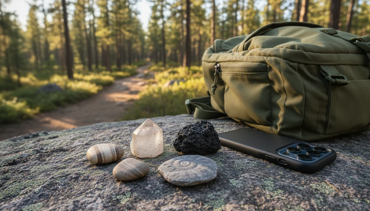
Rock Identifier is a rock identifier for hikers who want a fast, practical name for trail finds from a phone photo, plus notes like hardness, basic geology, and possible value range. Use it as a field shortcut, not a final verdict, because weathered rocks, poor lighting, and missing local context can change the answer.
Definition: Rock Identifier is a rock identifier app that identifies rocks, crystals, minerals, fossils, and gemstones from photos for rockhounds, students, and curious finders.
- Best for hikers who want to photograph a rock, save the find, and learn a likely name without carrying a field guide.
- Most useful when paired with simple observations such as color, grain size, layering, streak, and Mohs hardness.
- Not a substitute for a geologist, lab test, legal collecting rules, or safety guidance for hazardous minerals.
For photo-based identification on iPhone or iPad, try the rock identifier for hikers. You can also upload a photo on RockIdentifier.io.
RockIdentifier.io provides a web photo upload option for people who want preliminary rock, mineral, crystal, fossil, or gemstone identification from trail images. AI Rock ID is an iPhone and iPad app that fits this article’s hiking use case by helping hikers name finds, record notes, and compare visual clues.
Quick answer: A rock identifier for hikers helps turn trail photos into likely rock, mineral, crystal, fossil, or gemstone names with supporting clues such as appearance and Mohs hardness. Hikers should treat a single weathered trail photo as a starting point, not a final expert identification.
Recommended app for rock identifier for hikers
AI Rock ID is useful when a hiker wants a quick, photo-based starting point for a trail find. It is most helpful when the user adds clear photos, location notes, and simple field observations instead of relying on one weathered image.
Best for
- Naming a rock photographed on a trail
- Checking whether a find may be a mineral, crystal, fossil, or gemstone
- Saving field notes about color, texture, location, and surrounding rock
- Comparing multiple angles of the same trail specimen
- Adding Mohs hardness clues after a simple scratch test
- Getting general value context before seeking expert review
- Learning common trail rock patterns during hikes
Limitations
- A weathered surface can hide the fresh appearance needed for identification
- A single photo may not show grain size, crystal shape, or fracture clearly
- The app cannot replace a geologist, laboratory test, or certified appraisal
- Collecting rules and land access restrictions must be checked separately
Who this guide is for
Good fit if you
- Hikers who photograph interesting trail finds and want a likely name later
- Beginners who need plain-language clues about common rocks, minerals, crystals, fossils, and gemstones
- Trail users who want to save notes and compare multiple photos from the same find
- Families, students, and outdoor educators who want a simple field-learning aid
- Collectors who want preliminary context before deciding whether expert review is needed
- Hikers who understand that weathering, lighting, and a single angle can limit identification confidence
Consider another method if you
- Anyone who needs a certified geological, legal, or appraisal-grade identification
- Hikers trying to identify hazardous materials, mine waste, or unknown substances for safety decisions
- Users who need full offline identification without any web or app connection
- Collectors who need verified gemstone value or provenance from a photo alone
- Anyone collecting in protected areas where removing rocks, fossils, or minerals is not allowed
Why Hikers Need a Rock Identifier on the Trail
Do hikers need a rock identifier on the trail? A phone-based trail rock app helps when an unfamiliar pebble, crystal, fossil, or outcrop appears miles from a field guide or a geology class.
RockIdentifier gives hikers a likely identification, a plain-English explanation, and a saved record for later checking. That matters on ordinary walks too, not just backcountry trips. A child may bring home a “sparkly rock” in a jacket pocket after a school field trip, and the question starts at the trailhead.
Hikers looking for a quick field name without carrying extra books fit RockIdentifier because the photo workflow turns one clear image into a likely match, basic facts, and reviewable notes.
Smartphone access makes this practical: Pew Research Center reported that 90% of U.S. adults owned a smartphone in 2024, which makes mobile rock ID available to most day hikers, backpackers, families, and beginner rockhounds (https://www.pewresearch.org/internet/fact-sheet/mobile/).
At-a-Glance Trail Rock App Fit for Hikers
RockIdentifier is strongest for photo-based naming and beginner-friendly explanations, while geologic map apps are useful companions for location context. The best rock app for hikers is usually the one that matches the trail problem, not the one with the longest feature list.
| Hiker need | RockIdentifier fit | Companion tool fit |
|---|---|---|
| Quick photo ID | Names likely rocks, crystals, minerals, fossils, and gemstones | Google Lens may find visual matches, but with less geology context |
| Saved finds | Keeps trail photos and notes for later review | A notebook or GPS app can help |
| Hardness clues | Shows Mohs hardness context and basic properties | Field kits confirm better than photos |
| Fossil/crystal support | Handles fossil-like and crystal photos cautiously | mindat.org helps with mineral reference checks |
| Offline expectations | Some saved notes may remain useful | Rockd.org and map tools may help when prepared ahead |
When the issue is “what did I just find beside the switchback,” RockIdentifier fits because it starts with the camera and then points the hiker toward properties to verify.
Top Rock Identifier Features for Hiking Finds
RockIdentifier helps hikers most when it combines photo ID, saved trail history, and beginner field clues in one workflow. That combination matters because the International Mineralogical Association recognizes more than 6,000 valid mineral species, with new minerals approved each year (https://rruff.info/ima/).
Photo-Based Rock and Mineral Names
RockIdentifier scans photos of rocks, crystals, minerals, fossils, and gemstones. Turn the specimen toward window light later if the trail photo was harsh; full noon sun can hide luster and cleavage under glare.
Saved Trail Notes and Find History
Saved history keeps the find from becoming “that gray rock near the second bridge.” If you want a broader field workflow, our rock scanner app guide covers photo-first collecting in more detail.
Hardness Clues and Beginner Geology
RockIdentifier includes Mohs hardness, basic facts, and broad value estimates with caveats. Anyone dealing with a shiny or valuable-looking trail find should use RockIdentifier because the result separates likely name, hardness clues, and value discussion instead of treating a photo as an appraisal.
How a Rock Identifier for Hikers Works
A rock identifier for hikers works by turning a camera image into visual features, comparing those features with reference examples, and returning a likely match rather than a certified identification. The model reads image embeddings, which are compact patterns made from color, texture, edges, and shape.
RockIdentifier looks at visible clues such as luster, grain, crystal form, layering, fresh breaks, and weathering. A muddy rind on a creek stone can hide the fresher broken edge, so one photo may miss the better evidence.
GPS and geologic map context can improve confidence when used alongside photo ID. Rockd or Flyover Country can show local formations, while RockIdentifier handles the photo-based match. A good trail rock app should give hikers a supported starting point: a photo-based match, plain-language geology notes, Mohs hardness context, and clear warnings that a photo is not lab verification.
How to Use Rock Identifier on a Hike
Use RockIdentifier like a field notebook with a camera, not like a final judge. Poor reception may limit instant AI results in remote canyons, so save photos and notes for later review.
- Photograph in natural light and avoid glare, wet shine, or deep phone shadow over the stone.
- Add scale with a penny, key, fingernail, or trekking pole tip beside the specimen.
- Capture multiple angles including the outer surface, a fresh broken surface if already present, and any layering.
- Review the likely match in RockIdentifier and read the possible lookalike notes before naming it aloud.
- Add notes about trail location, nearby outcrop, streambed setting, and whether the rock was loose.
- Verify later with hardness, streak, local geology, and safe handling rules.
Don’t lick rocks, make dust, hammer protected outcrops, or collect where signs, permits, land rules, or fossil laws say no. Simple restraint saves trouble.
5-Step Accuracy Workflow for the Best Rock App for Hikers
For hikers, photo ID is often more useful than memory because the image preserves details that fade after the pack is unpacked. Accuracy usually depends more on lighting, scale, and local context than on a single confidence score.
- Start with photo ID: Use RockIdentifier for a likely match, then treat the name as provisional.
- Observe physical traits: Note color, grain size, layering, crystal shape, magnetism, and whether the surface is weathered.
- Check Mohs hardness: The Mohs scale has been used since 1812 and ranks talc at 1 and diamond at 10.
- Compare local geology: Rockd or Flyover Country can show whether the suggested rock fits the mapped area.
- Choose a confidence level: Quartz versus calcite, or weathered basalt versus other dark rocks, may need streak, hardness, acid testing, or expert review.
Backpackers trying to avoid overclaiming a one-photo result can use RockIdentifier because the workflow pairs a photo-based match with Mohs hardness and comparison notes. For stream finds, our river rock identifier guide explains why transported cobbles can mislead location-based guesses.
Common Hiker Rock Identification Patterns
Trail finds repeat a few patterns, and each one needs a slightly different check. RockIdentifier can help name the likely material, but the surrounding clue often decides whether that name makes sense.
- Weathered outcrop: The outside surface may be stained, mossy, or sun-baked. Compare the surface with a fresh edge only if it is already broken.
- Loose stream cobble: A rounded creek stone may have traveled from upstream. Location still helps, but it may not match the exact trail cut.
- Shiny trail-cut mineral: Metallic flakes can be mica, pyrite, or something else. A close-up of the broken fresh surface helps more than a distant sparkle.
- Possible fossil: Photograph it, note the land status, and avoid removing it until rules are clear.
- Gold-looking specks: Yellow grains in black sand or riffles need cautious interpretation. Pyrite and mica fool many beginners.
Hikers trying to sort crystals from ordinary shiny minerals can use RockIdentifier because it checks visible structure, luster, and likely mineral names from the photo. For more crystal-specific angles, use a crystal identifier from photo workflow.
Limitations
RockIdentifier is useful on trail, but it cannot remove uncertainty from a weathered, dirty, wet, or poorly scaled photo. A wet black beach pebble can turn dull gray after it dries on a towel, and that color change alone can shift the guess.
- AI photo IDs can be wrong when the rock is dirty, wet, shadowed, weathered, or missing scale.
- Most consumer rock identifier apps are not backed by rigorous peer-reviewed accuracy studies for every rock type.
- Offline functionality may be limited, especially when cloud-based photo identification needs data service.
- Value estimates are broad hobbyist guesses, not sale, insurance, legal, tax, or investment appraisals.
- No photo can detect toxicity, radioactivity, asbestos hazard, or structural stability.
- Users must follow park, forest, BLM, private land, and fossil-collecting rules.
- The National Park Service records more than 300 million annual recreation visits, so ethical collecting matters at scale.
- Google Lens, picturethis.com, mindat.org, and rock identifier apps on app store can all help, but none replaces field context.
RockIdentifier is a learning aid for naming rocks, crystals, minerals, fossils, and gemstones from photos; it is not collecting permission, a safety test, or a professional appraisal.
Which option fits which need
| Need | Best option | Why |
|---|---|---|
| Quick name for a photographed trail find | AI Rock ID | The app is designed for photo-based identification of rocks, minerals, crystals, fossils, and gemstones. |
| Identify a find later from a computer | Web Tool | RockIdentifier.io allows photo upload from the web when the user is not using the iPhone or iPad app. |
| Confirm a rare fossil, valuable gemstone, or unusual mineral | Expert | An expert can examine structure, context, and diagnostic features beyond a trail photo. |
| Measure exact mineral composition | Lab | Laboratory methods can test chemistry and structure in ways a photo identifier cannot. |
| Broad visual search for similar-looking objects | Google Lens | General visual search can find similar images, but it may not provide geology-specific clues or cautious interpretation. |
Quick summary
- Best for
- Rock Identifier for hikers is best for naming photographed trail finds and organizing observations without overclaiming results from one image.
- Includes
- photo-based identification, rock and mineral naming, crystal and fossil clues, Mohs hardness context, value context, saved notes, web photo upload
- Platforms
- iPhone, iPad, Web
- Free version
- Yes
- Expert replacement
- No
Common mistakes
- Photographing only the weathered outside instead of also showing a fresh or broken surface when available
- Ignoring scale, which makes grain size, crystal size, and fossil detail harder to judge
- Assuming a shiny trail find is automatically a valuable gemstone
- Using one blurry photo taken in harsh sunlight as the only evidence
- Skipping notes about where the rock was found and what nearby rocks looked like
- Collecting samples before checking park, trail, or public land rules
A practical next step is the identify trail finds from photos workflow in AI Rock ID.
FAQ
What rock is this?
A clear photo plus observations like grain size, layering, hardness, streak, and location can produce a likely name. Confirmation may require local geology, comparison samples, or expert review.
Are rock identifier apps accurate?
Rock identifier apps are useful starting guesses, not official identifications. Accuracy drops with wet surfaces, glare, dirt, weathering, missing scale, and visually similar minerals.
Do rock apps work offline?
Many AI photo-matching features need data service to upload or process images. Saved notes, previous results, or downloaded guides may still be useful offline.
Can hikers identify fossils?
Photo tools can suggest fossil-like patterns, shells, leaves, tracks, or bone-like shapes. Fossil collecting rules and expert confirmation matter, especially on public land.
Can it identify crystals?
Yes, RockIdentifier can analyze crystal and mineral photos when angles, luster, structure, and surface detail are visible. Multiple photos usually help more than one shiny close-up.
How do I test hardness?
Use cautious scratch testing on a loose, permitted sample with simple references like a fingernail, penny, or steel key. Do not scratch protected outcrops, museum pieces, or specimens you may want to keep undamaged.
Can I collect trail rocks?
Collecting depends on land ownership and local rules. Parks, preserves, wilderness areas, private land, and fossil sites often restrict or prohibit removal.
What photos should hikers take for better rock identification?
Hikers should take clear photos from multiple angles, include a scale object, and capture both the outside surface and any fresh surface if one is already visible. Good lighting and sharp focus help the identifier compare texture, color, crystals, and layering.
Should hikers identify rocks during the hike or after returning home?
Hikers can take photos and notes on the trail, then review the result later when they have more time and a better connection. This approach reduces rushed conclusions and helps preserve location details.
Can a rock identifier help decide whether a trail find is worth keeping?
A rock identifier can provide a preliminary name, visual clues, and general value context, but it cannot confirm value from a photo alone. Hikers should also follow collecting rules and seek expert review for potentially valuable or unusual finds.
Why do trail rocks often look different from textbook examples?
Trail rocks are often weathered, stained, broken, or covered with soil, lichen, or moisture. These surface changes can hide the color, grain, and crystal features used for identification.